A Map of ‘The South’ is Going Viral on Social Media. Is it Right?
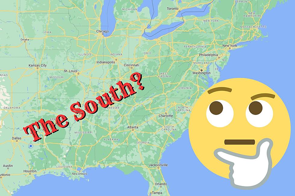
There is a debate that can strike a nerve for many but also bring up some very good questions for others, where is "The South" in the United States? The answer to that question will get all kinds of different answers. What makes a state part of "The South?" Again, you'll get a whole new group of different answers. A map went up on social media recently and it really got people talking even though there is no clear explanation as to why the area pointed out is considered "The South." East Texas is "The South" but the rest of Texas is not? Let's take a look below.

The South of the Civil War Era
We studied in our various history classes about the Civil War era of the United States. To simplify things, we had the southern states of the U.S. fighting against the northern states of the U.S. Since the end of that war, the states that fought for the southern region of the U.S. have been referred to as "The South." Texas was a part of those southern states as were the states south of Arkansas, Tennessee and Virginia. Today, all of those states are still considered "The South."
One Man's Map of "The South"
In June of 2021, R.J. Lehmann, Editor-in-Chief for International Center for Law and Economics posted a map of what he considered to be "The South." There isn't any context as to why he came to that conclusion other than some replies he made to commenters. Recently, some folks on social media have been bringing the post back into the spotlight. That map is below:
Raises Some Questions About Who is in "The South"
As seen in his map, East Texas is the western most border of "The South." All of Arkansas, Louisiana, Alabama, Mississippi, Georgia, Tennessee, North and South Carolina, West Virginia and Virginia are included in the map. The part that really started to throw a lot of people off was only a portion of Oklahoma and Florida and not all of Kentucky were considered "The South." Even more confusing was that a part of Missouri, Pennsylvania, Ohio, Indiana and Delaware are considered part of "The South."
What do you think?
It's an interesting take on the subject that I wish had more context given as to why these choices were made. Feel free to read the entire thread with the author's responses to commenters and you get a semi-idea of how he came to this conclusion. But what do you think? Is this map right or just someone spouting off at the mouth thinking that country living means you're southern? It's certainly a debate that may never find a true answer.
13 Myths Not Texans Believe are True about Texas
10 Most Unique Texas Airbnb Stays
7 Ways to Cool Your Home Without AC in the East Texas Heat
More From KKTX FM


