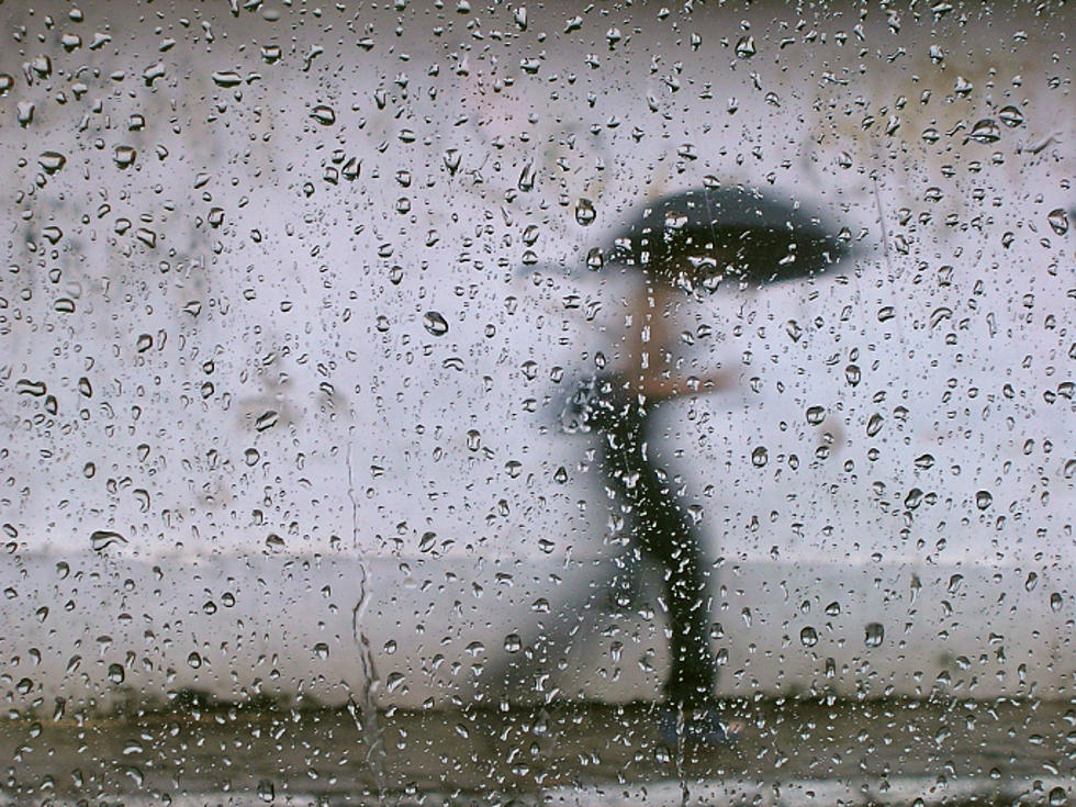
A pretty strong low pressure system and cold front will be moving through East Texas early Tuesday that has the potential of producing a lot of rain that could lead to some flash flooding. Rainfall totals, according to Mark Scirto at KLTV 7, could average anywhere between 2 and 3.5 inches with some areas receiving more.
It is fall after all! Rain is to be expected this time of the year and more rain is in the forecast for East Texas and this time around it could be paired up with some severe weather, too.
It just keeps coming.
Yesterday in East Texas, we set rainfall records with upwards of four inches of rain falling in the Tyler-Longview area. And there's no sign of it slowing down anytime soon. Despite a brief respite this morning, another round of storms should be hitting the area by this afternoon and continuing well into the work week...
It's too soon to know for sure, but a new tropical storm could become a hurricane in the next few days and have an impact on Texas in the next week or so.
KLTV.com-Tyler, Longview, Jacksonville, Texas | ETX News
Our first real taste of winter is barreling it's way to East Texas right now! We're in for a big change tomorrow and the upcoming weekend as high temperatures are only going to be in the upper 40's, a big change from the upper 70's of this afternoon
The National Weather Service says locally heavy rainfall is expected over much of the state today and tonight with widespread rain resulting in one to near three inches of rainfall. An isolated thunderstorm is also possible.
Our weather partners at KLTV Channel 7 in Tyler say the rainfall will stay throughout the day, and to expect lower temperatures later in the week...


![Will the Cold Front Bring Rain or Snow to East Texas? [VIDEO]](http://townsquare.media/site/185/files/2014/11/weekend_.png?w=980&q=75)
