Severe Storms and Snow Possible Christmas Day
A low pressure system is racing towards East Texas from the Panhandle bringing with it the chance for severe thunderstorms and snow for parts of East Texas on Christmas day!
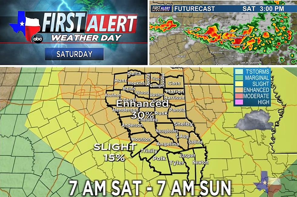
The exact track of the front is still in question and it all depends on what side of the front you are on as to what type of weather event you will get. To the south of the front, there is the threat of severe weather including tornadoes. To the north, a cold rain and maybe a thunderstorm or two. That cold rain is expected to change to snow in the afternoon.
As of now, the front is expected to arrive in East Texas between 6am and 12noon on Christmas Day. If the track holds true, the southern half of East Texas will be under a slight to moderate risk of severe weather. The farther south, the bigger the severe weather threat.
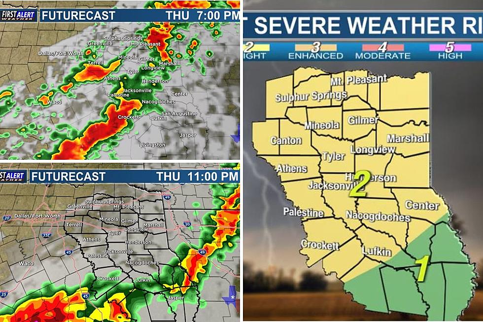
After the area of low pressure moves through, an area of very cold air will move into East Texas. Areas mainly north of I-20 will likely see at least a brief period of snow. Little or no accumulation is expected along the I-20 corridor, however farther north near I-30 there could be up to an inch of snow.
This forecast could change as the timing and location of the front means everything.
More From KKTX FM